
Respond & Respond MAP
Weather is the one thing in claims nobody controls. Respond makes it something you can plan for. Near real-time analytics built from weather radar, model data, and proprietary peril algorithms guide disaster preparation, response, and recovery. And Respond MAP puts it all on an interactive map, against your book.
Decisions before, during, and after the event
Readiness before landfall, loss estimates within hours after, and event-level intelligence for as long as recovery takes.
Loss estimates within hours
IBNR analysis estimates affected policies within hours of an event. Leadership sees the size of the storm before the first adjuster does.
Five days of warning
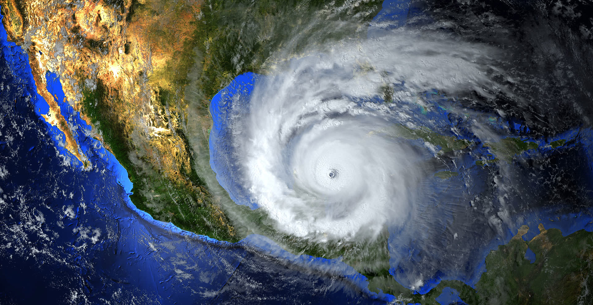
Hurricane damage forecasts up to five days before landfall, updated multiple times a day as the storm approaches, so cat teams stage people and partners ahead of the event.
Treaty and cat recovery
Pin down the true date of loss and whether it belongs to a cat event. Insurers have identified millions of dollars in additional catastrophe recoveries with Respond.
Policy impact alerts
Storm severity crossed with your policies in force: detailed loss volume and coverage exposure across residential and commercial, peril by peril.
Respond MAP: see it spatially
An interactive GIS visualization and analytics platform: evaluate, understand, and respond to every significant weather event with your exposure on the map.
Demand forecasting beyond claims
Manufacturers, distributors, and contractors correlate each storm's damage severity to local inventory needs, down to the neighborhood.
Science for every major peril
Proprietary peril models go deeper than the radar loop on the news: signals built to predict claims, not just describe weather.
Hail
Hail Impact Energy quantifies what the stones actually did at ground level: a stronger claims predictor than hail size alone.
Wind
Straight-line wind speeds and gusts across the full footprint of the event.
Tornado
Tornado Probability gives a first indication of where a tornado touched down, and how likely a given area was hit.
Hurricane
Five-day forecasts before landfall, updated multiple times daily, and observed conditions after.
Wildfire
Fire extent and intensity for the losses in and around the burn.
Smoke
A proprietary analysis of smoke intensity, extent, and duration at ground level.
Freeze
Freeze conditions behind burst pipes and other deep-cold losses.
Snowfall
Snow accumulation behind roof-load and winter-storm claims.
Rainfall
Rainfall totals behind water intrusion and flash-flood losses.
Earthquake
Ground-shaking extent and intensity where your policies sit.
One event, three conversations
When a single hail storm around Columbia, South Carolina damaged some 8,000 homes, Respond had it sized within hours. Catastrophe or not, the same analytics serve three different rooms.
Operational response
Align staffing with demand, place adjusters where the damage is, assign claims by experience, and validate the date of loss on every file.
Financial reporting
Sharpen early-stage bulk reserves, improve catastrophe classification and recovery, and set reserves with predictive modeling instead of guesswork.
Fraud management
Detect claim patterns that don't match what the weather actually did, and escalate them to SIU personnel when warranted.
Respond in the claims lifecycle
Respond works ahead of the claim (readiness before landfall, loss estimates within hours after) so leadership can manage the event as a whole while adjusters work the individual claims. It's the core suite's early-warning system: the claim's story starts before the first call.
See the full life of a claimQuoted to your book and territories
Respond and Respond MAP are licensed to your organization: scope, perils, and territories shape the quote, so the analytics match your book, not a generic model.
Do more across the claim
Xactimate
Respond's demand forecasts show how much estimating capacity an event will need, before the first assignment flows.
Explore Xactimate Assign & manageXactAnalysis
Event-level intelligence meets claim-level workflow: watch the storm's claims move through assignment in real time.
Explore XactAnalysis Weather verificationBenchmark
Property- and date-specific hail, wind, lightning, and hurricane reports: the per-claim side of Verisk weather data.
Explore BenchmarkBe ready before the storm makes landfall
Respond and Respond MAP are quoted to your book, perils, and territories. Get set up before the season starts.